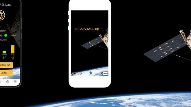
Weather models can be improved with the satellite signal data of the users.
The goal: To collect as much satellite navigation data as possible at as many different locations as possible via the application by the end of June 2022. These are then evaluated by researchers from ETH Zurich and the International Institute for Applied Systems Analysis in Laxenburg (Austria), who are implementing the ESA project.
And how exactly is this supposed to work? The scientists can actually draw conclusions about atmospheric phenomena from the satellite signals, including the weather. They know, for example, how the strength or transit times of the signals change at a certain water vapor content in the atmosphere.
If trends in the water vapor concentration are now recorded in the longer term, this knowledge can be incorporated into weather models and used for a more precise local weather forecast, especially for rain.
What will the weather be like in space?
By the way, the researchers can also use the collected user data to improve space weather forecasts, for example with regard to solar storms, which can affect satellite operation and communication.
If you want to help, use the app to measure outside from time to time at different places. The view of the sky should be free, the smartphone should be kept quiet or laid down.
Collect a few seconds of data
Then you just have to call the app, tap “Start Logging” and wait a few seconds or tap “Log in Background” for a longer-term recording. To end a recording, tap “Stop Logging”. After that, the record can be uploaded to the Camaliot servers.
All data is treated anonymously and stored only on European servers, the scientists promise. Initial problems with the app, which users complain about in the Google Play Store, have now been fixed by updates.


